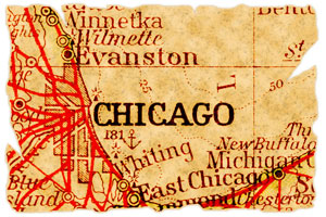
Chicago, Illinois Map
Chicago Map > Interactive Chicago Maps
 Chicago is made up of neighborhoods to the north, west, and south. Each neighborhood carries its own distinct
charm, including the stately Oak Park, bustling Chinatown, flavorful Greektown, and the attractive Ukrainian village. Many
older neighborhoods have been rehabilitated but crowding, crime, and urban sprawl are still issues to contend with. The
downtown area, known as the Loop, is the city's main business district and prides itself in a beautiful shoreline and
elevated public transit trains.
Brutally hot in the summer and extremely cold in the winter, Chicago's temperatures are somewhat moderated by the lakeshore. The Chicago River runs through the heart of downtown and visitors can take a river boat tour during the spring and summer months. Chicago is one of the country's most prominent transportation hubs and is easily accessible by train, bus, or airplane to Midway or O'Hare Field.
Interactive Chicago Maps
The center of Chicago, Illinois is located at about 41.83 degrees North (latitude) and 87.62 degrees West (longitude). The city occupies approximately 227.1 square miles in land area; according to the 2010 census, Chicago's population was 2,695,598.
|
Chicago River at Night (Time Lapse)
|
This Chicago directory provides convenient access to a broad spectrum of enterprises that are located in Chicago, Illinois. In-depth information and news about Chicago can be found on these regional Chicago Libraries and Chicago Newspapers pages, respectively Visitors to Chicago will find this Choose Chicago website useful.
All rights reserved.